Leica BLK2FLY
by Leica Geosystems
Overview
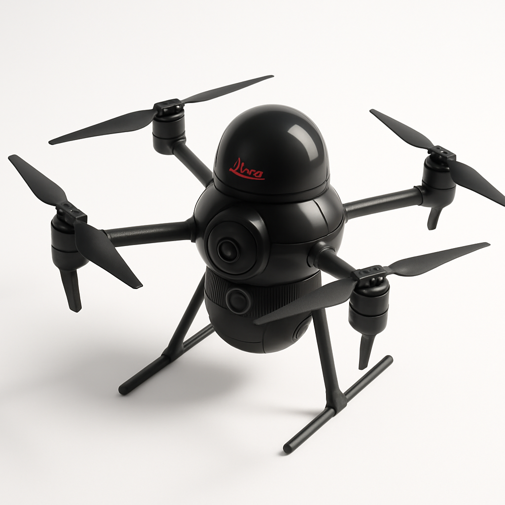
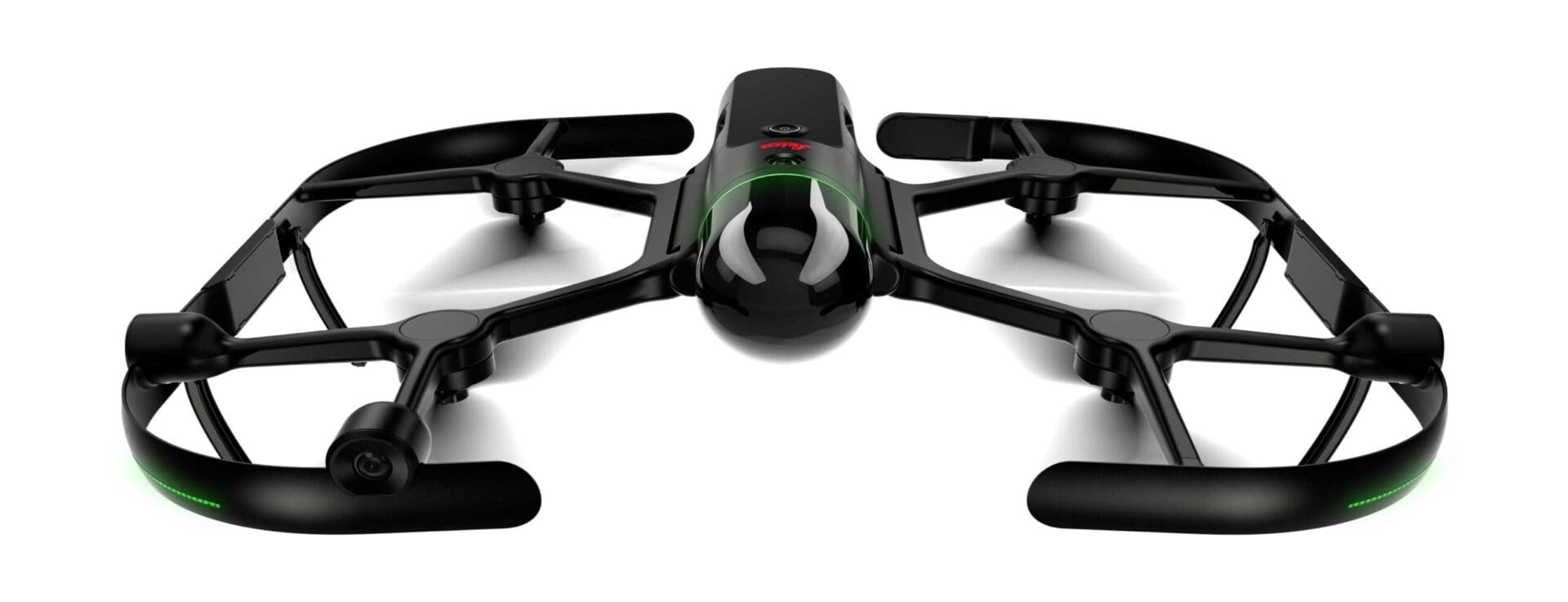
The Leica BLK2FLY represents a significant advancement in autonomous reality capture technology, specifically designed for surveying and mapping professionals who demand precision and efficiency. This enterprise-grade drone combines the power of LIDAR scanning with photogrammetry capabilities, enabling users to capture comprehensive 3D data in a single autonomous flight. Unlike traditional surveying drones that require extensive piloting experience, the BLK2FLY is designed with simplicity in mind, allowing surveyors and engineers to focus on data collection rather than flight operations.
Positioned as a premium solution in the surveying market, the BLK2FLY targets construction companies, engineering firms, surveying professionals, and mining operations that require accurate, repeatable measurements and detailed 3D models. The drone's autonomous capabilities make it particularly valuable for projects in challenging or hazardous environments where traditional surveying methods would be time-consuming or dangerous.
The integration with Leica's established ecosystem of surveying software and hardware makes the BLK2FLY an attractive option for organizations already invested in Leica's technology stack, providing seamless workflows from data capture to final deliverables.
Key Specifications
- Flight Time: Up to 22 minutes
- Maximum Speed: 15 m/s (33 mph)
- Operating Range: Up to 2.5 km
- LIDAR Range: Up to 35m
- LIDAR Accuracy: 7mm + 10mm/10m distance
- Camera Resolution: 42 MP RGB camera
- Positioning Accuracy: RTK-enabled with centimeter-level accuracy
- Maximum Wind Resistance: 10.7 m/s (24 mph)
- Operating Temperature: -10°C to 40°C (14°F to 104°F)
- Weight: 1.3 kg (2.9 lbs)
- Dimensions: 229 x 226 x 115 mm (folded)
- IP Rating: IP54 (dust and splash resistant)
- Data Storage: 256 GB internal storage
- Connectivity: 4G LTE, Wi-Fi, Bluetooth
- Obstacle Avoidance: 360-degree obstacle detection
- GPS Support: Multi-constellation GNSS with RTK
Pricing & Configuration
The Leica BLK2FLY follows an enterprise pricing model with costs typically ranging from $25,000 to $35,000 depending on configuration and included software packages. Leica offers various service and support packages, including training programs, extended warranties, and software subscriptions. The drone is usually sold as part of a complete solution that includes the aircraft, ground station software, data processing capabilities, and professional support services. Organizations can also opt for leasing arrangements or rental programs for short-term projects.
Pros and Cons
Pros:
- Fully autonomous operation requires minimal piloting skills
- Combines LIDAR and photogrammetry in a single platform
- Exceptional accuracy suitable for professional surveying applications
- Robust obstacle avoidance and safety systems
- Integration with Leica's professional software ecosystem
- Weather-resistant design for challenging conditions
Cons:
- High initial investment cost
- Relatively short flight time limits coverage area per mission
- Requires specialized training to maximize capabilities
- Heavy payload reduces agility compared to photography-focused drones
- Limited third-party software compatibility
Who Should Buy This Drone?
The Leica BLK2FLY is ideal for established surveying firms, construction companies, engineering consultancies, and mining operations that regularly require high-accuracy 3D data collection. It's particularly well-suited for organizations already using Leica equipment and software, as the integration benefits are substantial. Companies working on large infrastructure projects, topographic surveys, volume calculations, and as-built documentation will find the BLK2FLY's capabilities align well with their needs.
This drone is not recommended for casual users, small businesses with limited budgets, or organizations that primarily need basic aerial photography. The specialized nature and professional price point make it most suitable for enterprises where the accuracy and autonomous capabilities can justify the investment through improved efficiency and reduced field time.
Final Verdict
The Leica BLK2FLY succeeds in delivering professional-grade surveying capabilities in an autonomous package that reduces the complexity typically associated with drone-based reality capture. While the high cost and specialized nature limit its market to serious commercial users, those who invest in the system will find it delivers exceptional accuracy and efficiency for surveying applications. The autonomous flight capabilities and integrated LIDAR/photogrammetry sensors make it a compelling choice for organizations looking to modernize their surveying workflows and reduce field time while maintaining professional accuracy standards.
Pros
- + Autonomous flight planning and execution
- + Integrated LIDAR and photogrammetry
- + High-accuracy positioning
- + Professional surveying-grade accuracy
- + Easy-to-use interface for non-pilots
Cons
- - High cost barrier for entry
- - Limited flight time compared to mapping-only drones
- - Requires specialized training for optimal results
- - Heavy payload affects maneuverability
Frequently Asked Questions
What is Leica BLK2FLY?
The Leica BLK2FLY is an autonomous reality capture drone designed for surveying and mapping professionals. It combines LIDAR and photogrammetry capabilities with autonomous flight planning to capture accurate 3D data for construction, engineering, and surveying applications.
How much does Leica BLK2FLY cost?
Leica BLK2FLY uses a enterprise pricing model with plans starting at Contact for pricing.
What are the main advantages of Leica BLK2FLY?
The key advantages of Leica BLK2FLY include: Autonomous flight planning and execution; Integrated LIDAR and photogrammetry; High-accuracy positioning; Professional surveying-grade accuracy; Easy-to-use interface for non-pilots.
What are the drawbacks of Leica BLK2FLY?
Some limitations to consider: High cost barrier for entry; Limited flight time compared to mapping-only drones; Requires specialized training for optimal results; Heavy payload affects maneuverability.
What category does Leica BLK2FLY belong to?
Leica BLK2FLY is a Surveying & Mapping tool developed by Leica Geosystems.
Surveying & Mapping Guides
Best Drones for Construction Site Surveying in 2026
Best ToolsTop surveying drones for construction professionals. Compare RTK accuracy, BIM integration, volumetric analysis capabilities, and total cost of ownership for site surveys.
How to Choose a Survey Drone: RTK vs PPK vs Standard GPS
How to ChooseA practical guide to understanding RTK, PPK, and standard GPS accuracy for surveying drones. Learn which positioning technology fits your project requirements and budget.
Drone Regulations for Commercial Operators: 2026 Guide
How to ChooseA plain-language guide to commercial drone regulations in the US, EU, UK, and Australia. Covers Part 107, Open/Specific category, BVLOS waivers, and what's changing in 2026.
Other Surveying & Mapping Tools
View all 11 tools →American Robotics Scout System
American Robotics
The American Robotics Scout is a fully autonomous drone system designed for remote monitoring and data collection. It operates without human pilots through an automated base station, enabling continuous surveillance and inspection operations across various industries including energy, agriculture, and security.
Delair UX11
Delair
The Delair UX11 is a professional fixed-wing mapping drone designed for large-scale surveying and GIS applications. It offers exceptional flight endurance up to 59 minutes and can cover up to 450 hectares in a single flight with high-precision mapping capabilities.
DJI Matrice 350 RTK
DJI
Professional enterprise drone platform designed for surveying, mapping, and industrial inspection applications. Features advanced RTK positioning, dual-gimbal capability, and robust flight performance in challenging environments.
DJI Phantom 4 RTK
DJI
A professional mapping drone with integrated RTK positioning system for centimeter-level accuracy surveying and photogrammetry. Features a 20MP camera with 1-inch CMOS sensor and D-RTK 2 high precision GNSS for precise geolocation of captured images.