Best AI Surveying & Mapping Tools 2026
Professional drones for photogrammetry, RTK/PPK surveying, and high-accuracy mapping. Built for construction, mining, land surveying, and engineering projects.
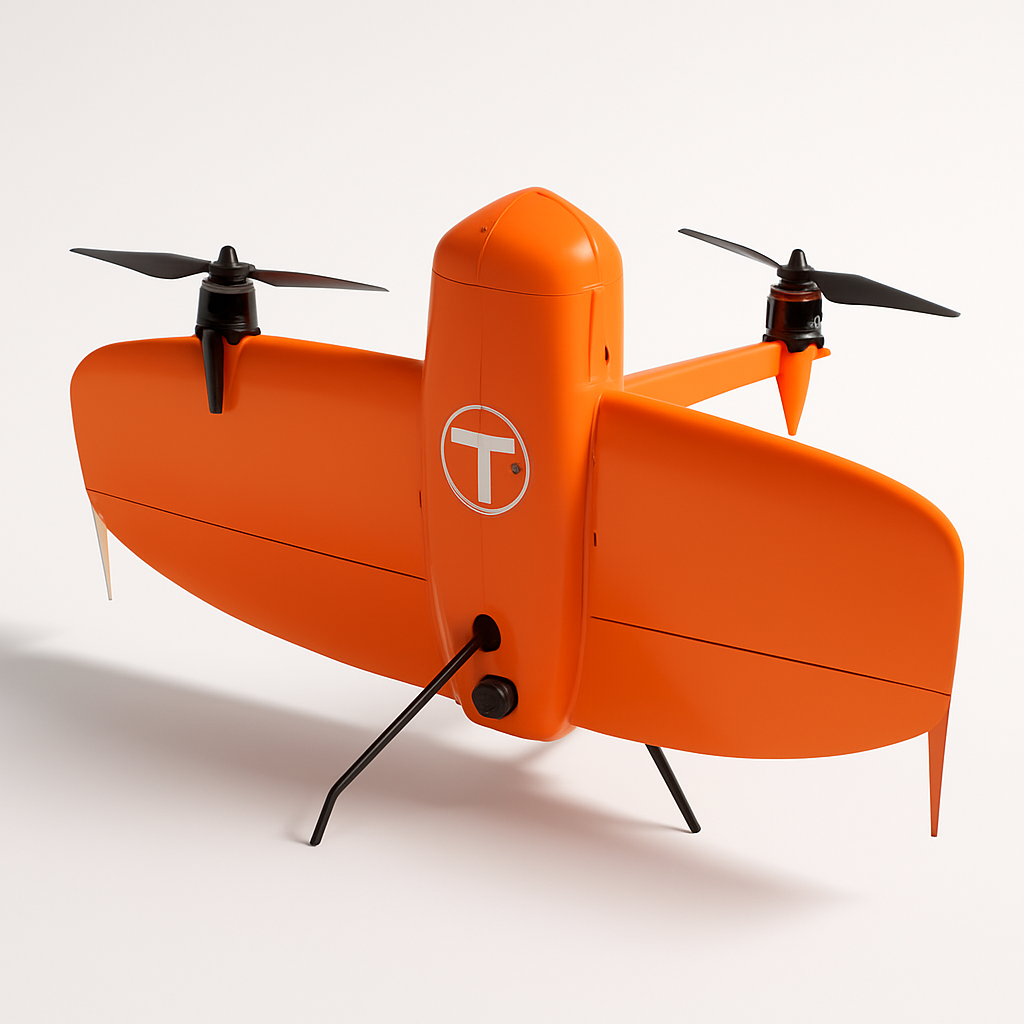
WingtraOne Gen II
Wingtra
The WingtraOne Gen II is a professional VTOL (vertical takeoff and landing) mapping drone designed for large-area surveying and inspection missions. It combines the convenience of vertical takeoff with the efficiency of fixed-wing flight, delivering high-precision mapping data with PPK/RTK accuracy.
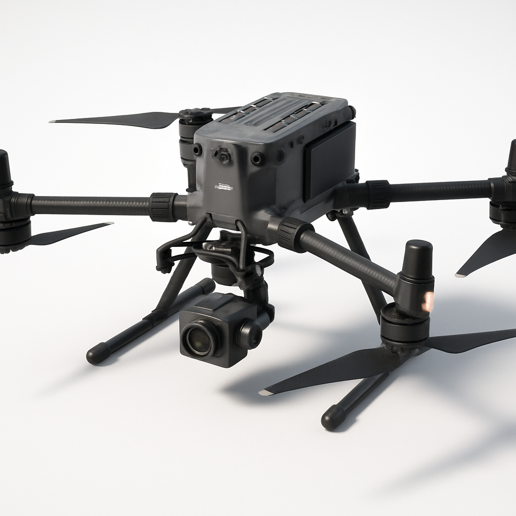
DJI Matrice 350 RTK
DJI
Professional enterprise drone platform designed for surveying, mapping, and industrial inspection applications. Features advanced RTK positioning, dual-gimbal capability, and robust flight performance in challenging environments.
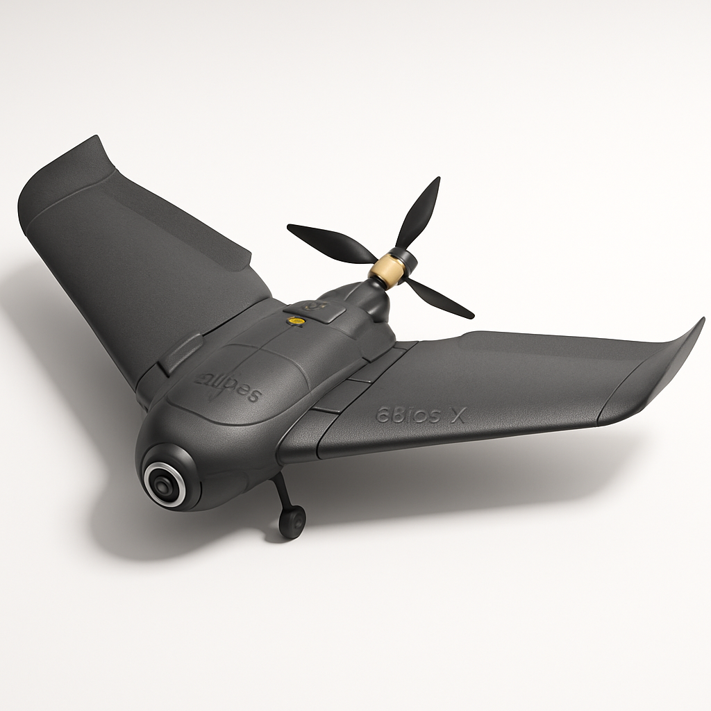
senseFly eBee X
senseFly (AgEagle)
The senseFly eBee X is a professional fixed-wing mapping drone designed for large-area surveying and photogrammetry applications. It offers exceptional flight endurance up to 90 minutes and can cover up to 2,200 hectares in a single flight with RTK/PPK accuracy.
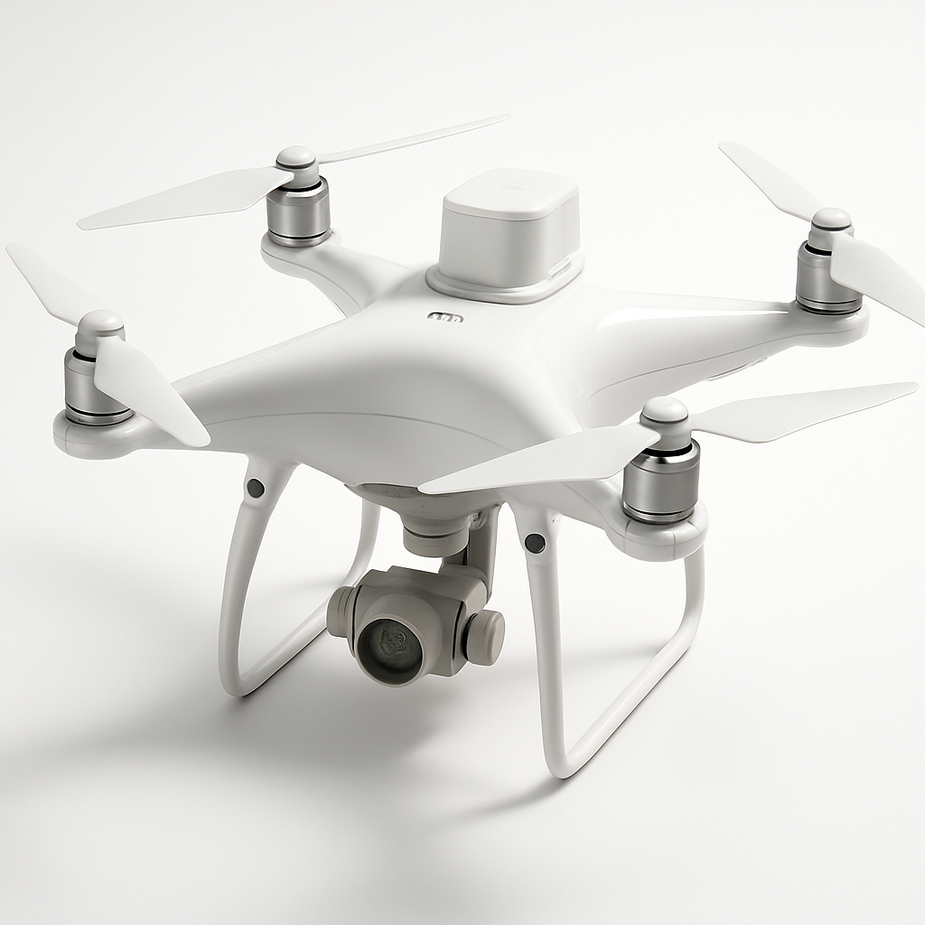
DJI Phantom 4 RTK
DJI
A professional mapping drone with integrated RTK positioning system for centimeter-level accuracy surveying and photogrammetry. Features a 20MP camera with 1-inch CMOS sensor and D-RTK 2 high precision GNSS for precise geolocation of captured images.
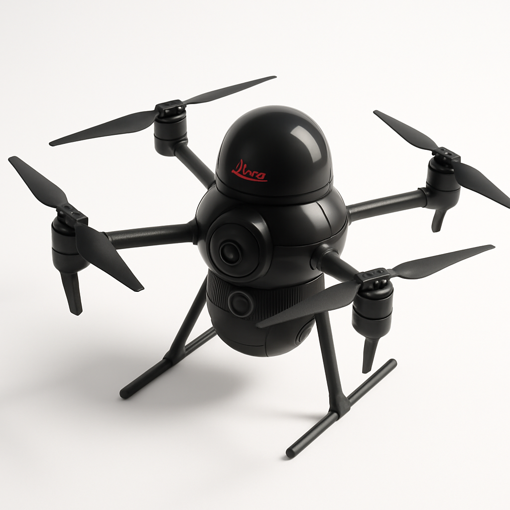
Leica BLK2FLY
Leica Geosystems
The Leica BLK2FLY is an autonomous reality capture drone designed for surveying and mapping professionals. It combines LIDAR and photogrammetry capabilities with autonomous flight planning to capture accurate 3D data for construction, engineering, and surveying applications.
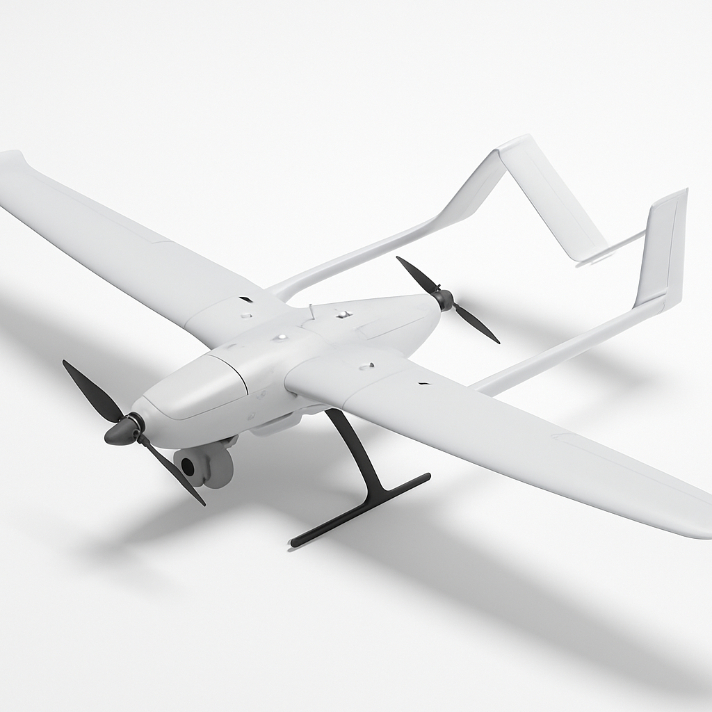
JOUAV CW-15
JOUAV
The JOUAV CW-15 is a professional VTOL fixed-wing drone designed for large-scale surveying, mapping, and inspection operations. It combines the vertical takeoff capabilities of a quadcopter with the long-range efficiency of a fixed-wing aircraft, offering up to 2.5 hours of flight time and covering up to 1,000 hectares in a single mission.
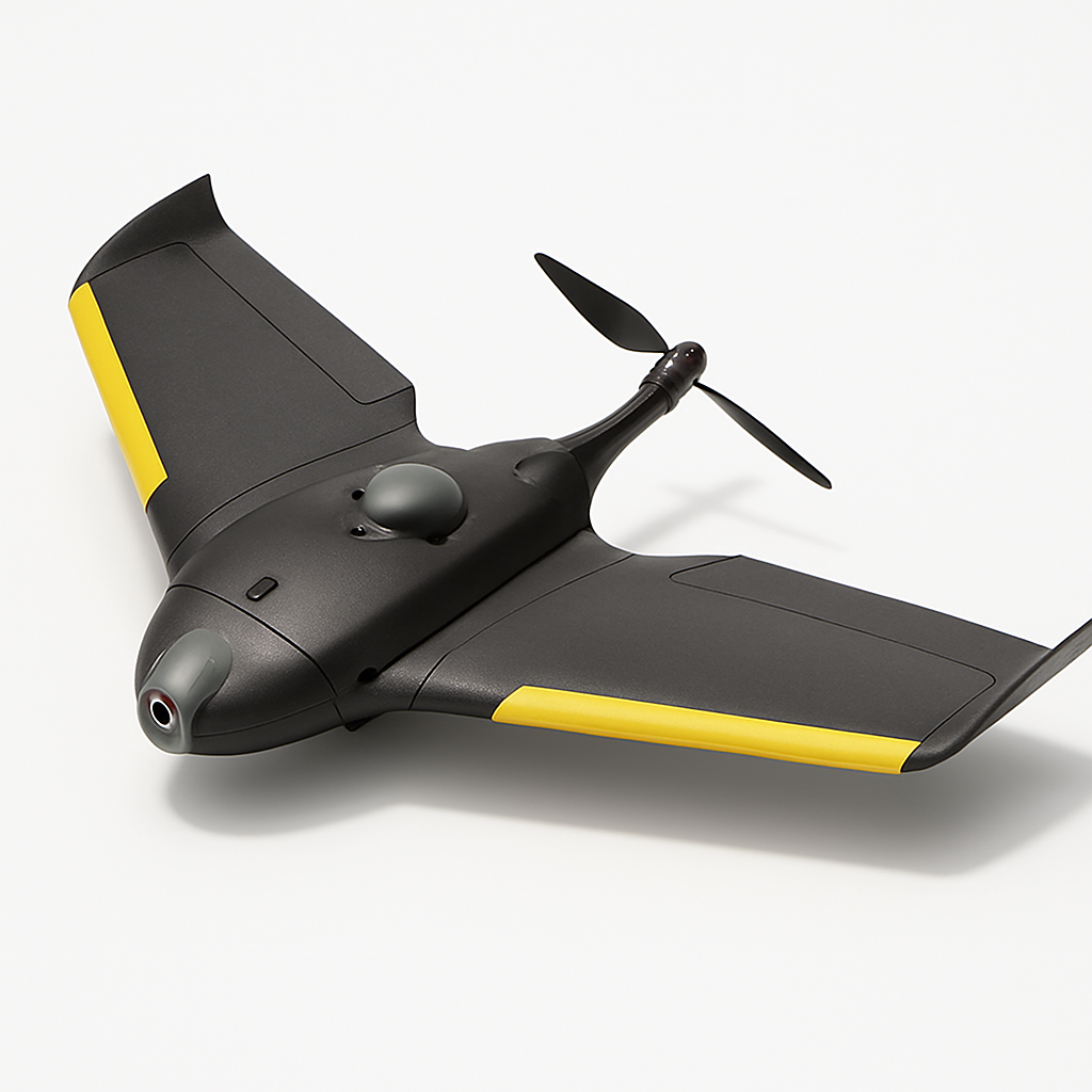
senseFly eBee TAC
senseFly
The senseFly eBee TAC is a tactical fixed-wing drone designed for defense and security applications. It offers extended flight times up to 90 minutes, operates in challenging conditions, and provides real-time intelligence gathering with advanced imaging capabilities.

Trimble UX5 HP
Trimble
A high-precision fixed-wing survey drone designed for professional mapping and surveying applications. Features RTK/PPK GNSS positioning for centimeter-level accuracy and can cover large areas efficiently with its 90-minute flight time.
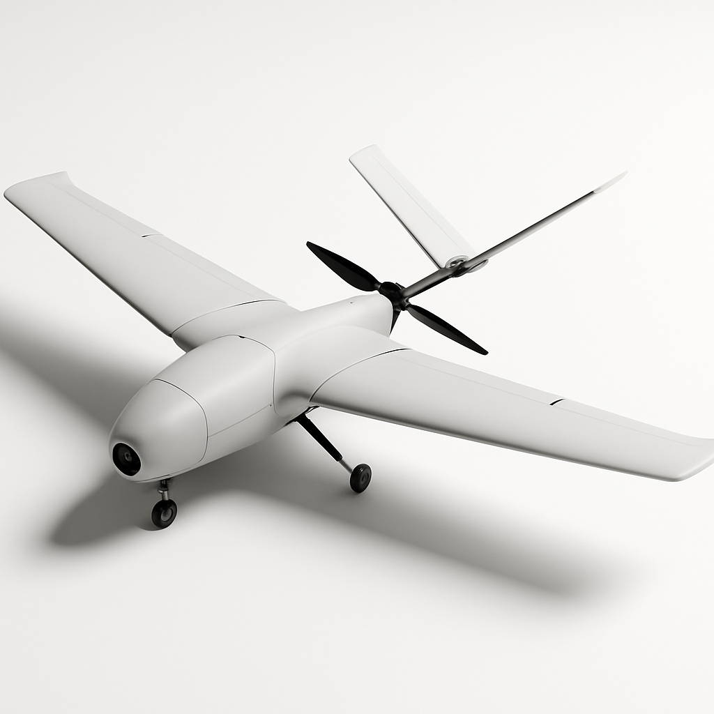
Delair UX11
Delair
The Delair UX11 is a professional fixed-wing mapping drone designed for large-scale surveying and GIS applications. It offers exceptional flight endurance up to 59 minutes and can cover up to 450 hectares in a single flight with high-precision mapping capabilities.

Quantum Systems Trinity F90+
Quantum Systems
The Trinity F90+ is a professional VTOL fixed-wing drone designed for large-area surveying and mapping missions. It combines vertical takeoff capabilities with efficient fixed-wing flight, offering up to 90 minutes of flight time and advanced payload integration for photogrammetry and LiDAR applications.
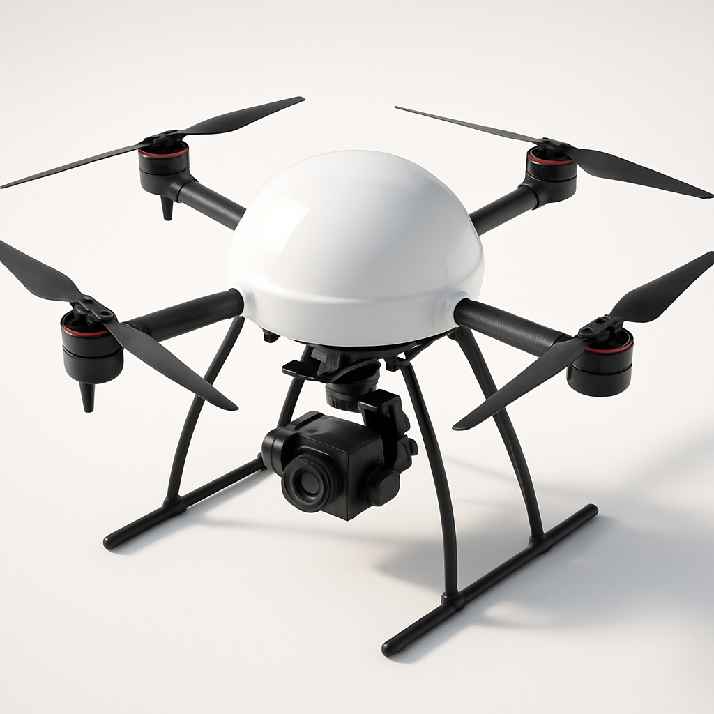
Microdrones md4-3000
Microdrones
The Microdrones md4-3000 is a professional quadcopter designed for surveying, mapping, and inspection applications. It features modular payload integration, weatherproof construction, and advanced flight planning capabilities for demanding commercial operations.
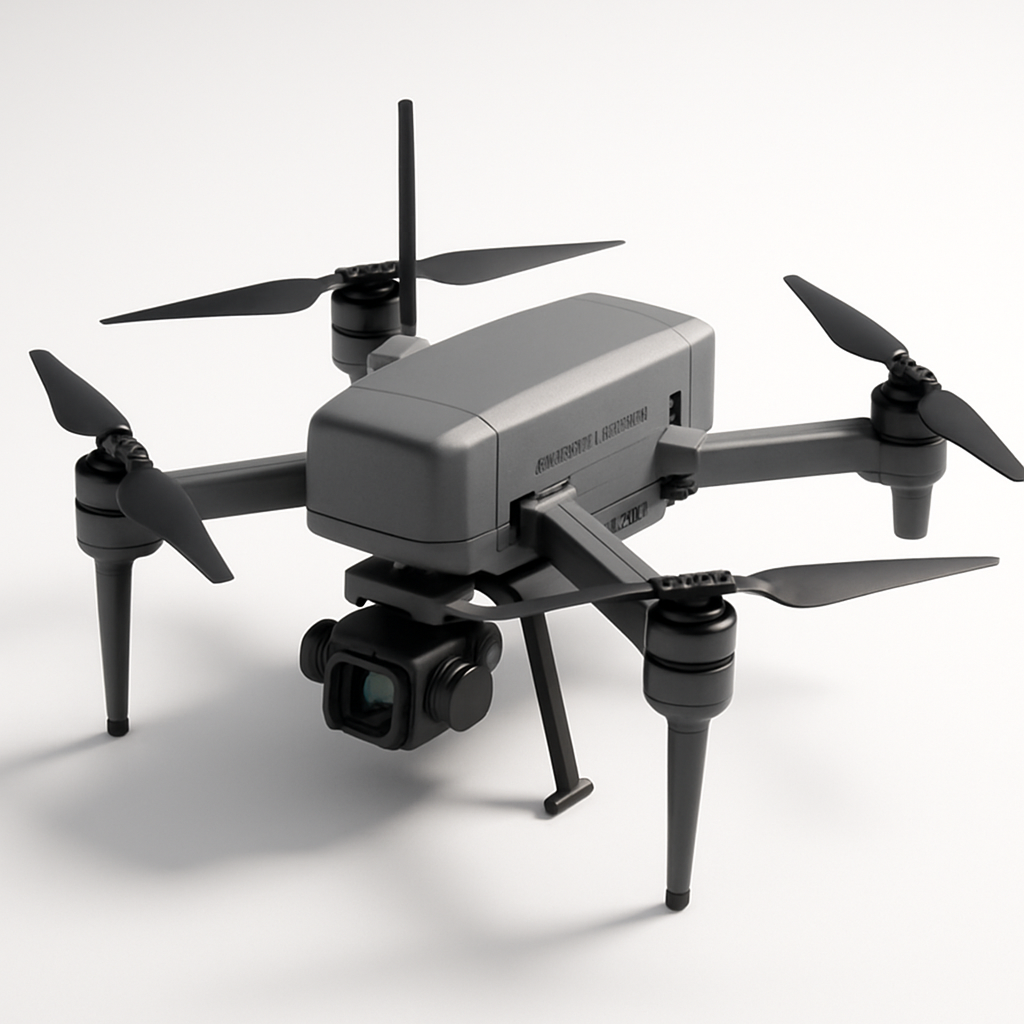
American Robotics Scout System
American Robotics
The American Robotics Scout is a fully autonomous drone system designed for remote monitoring and data collection. It operates without human pilots through an automated base station, enabling continuous surveillance and inspection operations across various industries including energy, agriculture, and security.